
Indonesia maintains airport closures as Mount Anak Krakatau ash threatens flight safety
State aviation authority AirNav Indonesia keeps six airports closed following volcanic ash dispersal from Mount Anak Krakatau, affecting over 270,000 passengers as officials prioritize flight safety across multiple provinces.
Indonesia maintains airport closures as Mount Anak Krakatau ash threatens flight safety
Indonesia's state-owned flight navigation service provider AirNav Indonesia has confirmed that temporary airport closures remain in effect as a critical safety measure following the eruption of Mount Anak Krakatau, which ejected volcanic ash up to 15 kilometers above sea level.
"This is a mitigation measure to support flight safety, taking into account the spread of volcanic ash in the airspace," said Hermana Soegijantoro, Executive Vice President of Corporate Secretary at AirNav Indonesia, in a statement on Monday.
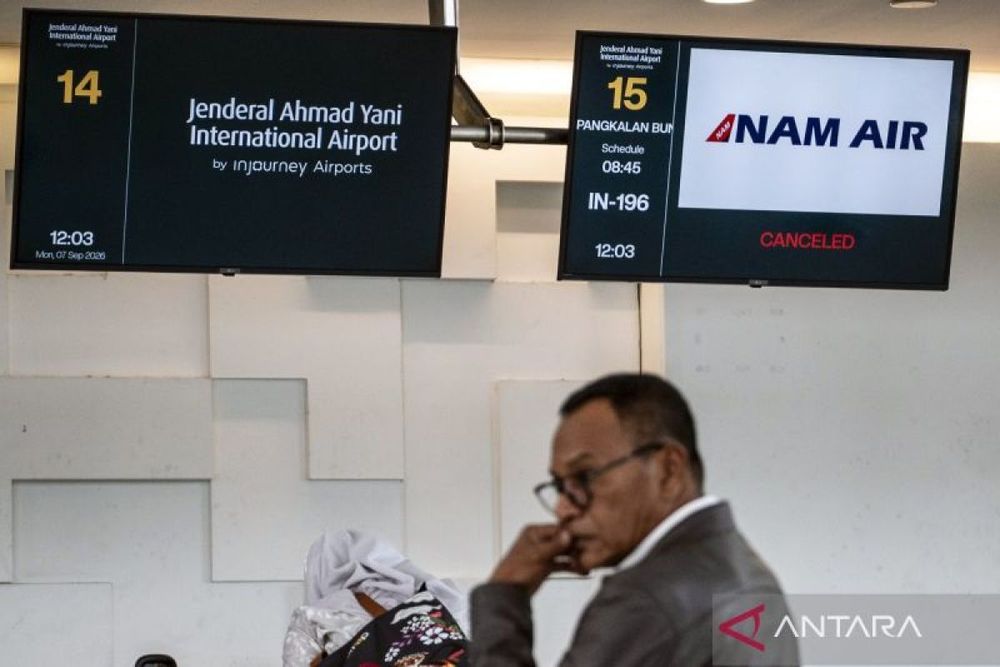
The eruption, which began around 23:07 local time on September 4, 2026, has resulted in the continued closure of six major airports. Seismic activity at the volcano, located in the Sunda Strait between Java and Sumatra, was first recorded at 4:11 a.m. that same morning. The disruption has stranded more than 270,000 passengers and disrupted thousands of flights across eight airports during the weekend, according to Indonesia's Transport Ministry.
Among the affected facilities is Soekarno-Hatta International Airport in Tangerang, Indonesia's busiest airport and the second-busiest in Southeast Asia, which handled 13.49 million passengers in the first quarter of 2026 alone. Other closed airports include Halim Perdanakusuma Airport in Jakarta, Radin Inten II Airport in Lampung, Husein Sastranegara Airport in Bandung, Budiarto Airport in Curug, and Pondok Cabe Airport.
Aviation hazard from volcanic particles
The closure decisions reflect the severe danger volcanic ash poses to aircraft operations. The ash consists of hard, abrasive particles of jagged rock and volcanic glass that can melt at jet engine operating temperatures, potentially causing catastrophic engine failure. Historical data compiled by the United States Geological Survey documented 79 damaging volcanic ash-aircraft encounters between 1953 and 2009, with 26 involving significant to very severe damage and nine resulting in engine failure during flight.
AirNav Indonesia, established on September 13, 2012, as the state-owned single Air Navigation Services Provider responsible for managing flight navigation and air traffic services across Indonesia's 5.19 million square kilometer Flight Information Region, continues to monitor airspace conditions and volcanic ash dispersal patterns closely.
"Aeronautical information will continue to be updated according to actual conditions and flight safety information," Soegijantoro stated, noting that the organization maintains continuous coordination with aviation stakeholders to ensure timely information delivery on airspace conditions and flight navigation services.
Ongoing volcanic activity
The latest eruption update from AirNav Indonesia reflects volcanic ash monitoring conducted by the Meteorology, Climatology, and Geophysics Agency (BMKG), showing ash has spread across Banten, Jakarta, West Java, Lampung, and Bengkulu provinces. Ash clouds at multiple altitudes have been spreading westward and southward from the volcano.
Mount Anak Krakatau has remained at Alert Level III (Siaga) since July 2, 2026, indicating heightened volcanic activity with a 3-kilometer exclusion zone established around the active crater. The volcano, whose name means "child of Krakatau," emerged from the sea in 1928 within the caldera left by the catastrophic 1883 eruption that killed more than 36,000 people.
According to the updated Notice to Airmen (NOTAM), the six airports will remain closed until volcanic ash conditions improve sufficiently to ensure safe flight operations. AirNav Indonesia emphasized that monitoring efforts and aeronautical information updates will continue as conditions evolve.