
BNPB identifies three companies suspected of burning land in South Papua
Indonesia's National Disaster Mitigation Agency (BNPB) has referred three companies to local authorities for checks over suspected deliberate land burning in South Papua. Agency chief Lt. Gen. Kristomei Sianturi said field verification is still needed and declined to name the companies.

Province asked to investigate
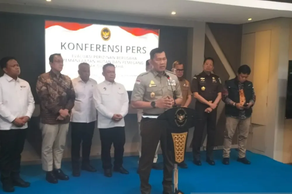
Speaking at the Coordinating Ministry for Political and Security Affairs in Jakarta on Monday, November 9, 2026, Kristomei said BNPB's inquiry began with several hotspots detected by its monitoring application. Those hotspots were believed to have caused forest and land fires; further investigation led the agency to identify the three companies.
BNPB has passed the companies' details to the local government. "We need to conduct field checks and seek clarification on whether burning was used to clear land," Kristomei said.
The agency had sent a formal verification request to the Governor of South Papua on November 4, according to Bisnis.com. The letter asked the provincial government to examine the hotspots in BNPB's monitoring data and coordinate with relevant local officials to determine on the ground whether land had been cleared by burning.
Matching fire data with land permits
BNPB is also developing a system to identify the permit holders or land managers associated with areas where fires are detected, Tempo.co reported. The system combines hotspot and burned-area data with records of Cultivation Rights (HGU), Land Management Rights (HPL), Building Use Rights (HGB), and forestry and plantation concessions.
Kristomei said the geospatial findings still require on-the-ground verification by the relevant ministries, agencies and regional administrations.
Fire activity and aircraft deployments
South Papua recorded 427 hotspots, the second-highest provincial count after Central Kalimantan's 443, according to BNPB's Indonesian Disaster Data Geoportal and NASA's FIRMS satellite platform. Southeast Sulawesi followed with 279.
The figures, current as of 6 p.m. local time on Sunday, November 8, 2026, showed 2,529 hotspots and 976 fire spots nationwide. Fires had burned 5,335 hectares in total, with about 1,925 hectares still burning.
To support firefighting in South Papua, BNPB deployed two Cessna aircraft for weather-modification operations, or cloud seeding, Kristomei said on November 9, according to Bisnis.com. He also said an Australian C-130 Hercules was continuing operations in East Kalimantan until November 12.